
Pennsylvania - Interactive Map and Map Activities
This section of MrNussbaum.com contains interactive and printable maps of Pennsylvania and its surrounding regions.

Five Regions of Pennsylvania Map and Map Maker
Description: Explore Pennsylvania's fascinating geographic regions with this interactive landforms explorer and map creator! Students can click or hover over the colorful map to learn about the state's mountains, valleys, plateaus, and lowlands through detailed descriptions and narration. Features include a photographic landscape map, a movable 10-question interactive scavenger hunt with immediate feedback, and a printable version with an answer key. The exciting Map Creator allows students to color regions, draw geographic features, and add, move, edit, or delete text labels. Finished maps can be printed or saved as PNG or SVG files. Perfect for Pennsylvania geography lessons, map skills, and independent exploration!

Pennsylvania Interactive Map
Description: This interactive map allows students to learn all about Pennsylvania's cities, landforms, landmarks, and places of interest by simply clicking on the points of the map.
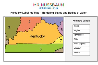
Pennsylvania Label-me Quiz
Description: This activity requires students to label Pennsylvania's surrounding states and waterways.
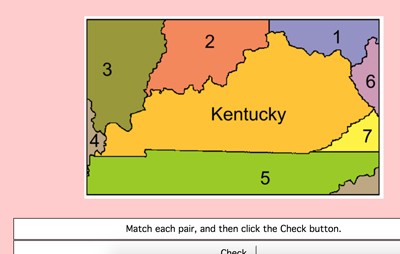
Pennsylvania Label-me Map - Online
Description: This activity requires students to identify Pennsylvania's surrounding states. It gives immediate feedback.
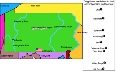
Pennsylvania Detailed Online Label-me Map
Description: These online maps require students to drag and drop the cities, landmarks, rivers, and mountain ranges, to their correct places on each state. Students can get clues and immediate feedback. This Pennsylvania map requires students to place 18 labels on the map including Pittsburgh, Philadelphia, Ohio River, Delaware River, Gettysburg, Valley Forge, and much more.
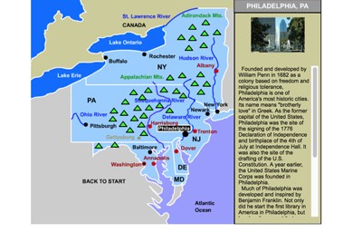
Mid-Atlantic States Interactive Map
Description: This interactive map allows students to learn all about the Mid-Atlantic states, cities, landforms, landmarks, and places of interest by simply clicking on the points of the map.

Mid-Atlantic States Interactive Map and Learning Lab 2.0
Description: Explore the five Mid-Atlantic states—New York, New Jersey, Pennsylvania, Delaware, and Maryland—with this comprehensive interactive Geography & History Learning Lab! Students can explore clickable maps featuring important cities, mountain ranges, landforms, and historical landmarks, with detailed mini-articles and narration. Special features include a New York City Five Boroughs Explorer, a State Challenge, randomized 15-question online and printable scavenger hunts, and an advanced Map Creator where students can color states, add and move labels, draw, and print customized maps. Perfect for geography, history, and social studies instruction!
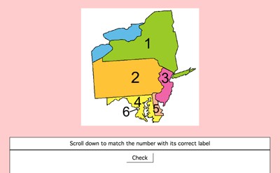
Mid-Atlantic States Label-me Quiz - Online
Description: This interactive quiz requires students to identify the Mid-Atlantic States. This gives immediate feedback.
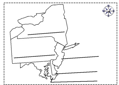
Mid-Atlantic States Label-me Quiz
Description: This quiz requires students to color and label the Mid-Atlantic states.

Pennsylvania Outline Map
Description: This is a Pennsylvania outline map for students to label and color.
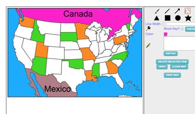
Maptivation - Online Map Making
Description: This is an awesome resource that allows kids to label and color maps online. States, regions, nations, and more are available. It can be a bit "glitchy" at time as the kids say, but by and large it is perfect for online coloring, printing, and labeling maps. Fill tool problem is now FIXED.
Advertisement
