Advertisement

Earth Science
This category features interactives that illustrate topics such as Earth's Atmosphere and its composition, the Greenhouse Effect, the Energy Budget, Continents and Oceans, inside the Earth, and much more!
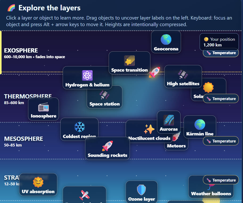
The Layers of Earth's Atmosphere Discovery Lab
Description: Blast off on an interactive journey through the five layers of Earth's atmosphere! Students explore the troposphere, stratosphere, mesosphere, thermosphere, and exosphere while discovering where airplanes fly, meteors burn up, auroras glow, and satellites orbit Earth. Click and move objects to uncover fascinating facts, explore how temperatures change with altitude, and travel from Earth's surface into space! Students can also test their knowledge with a fun drag-and-drop matching game and an interactive, printable multiple-choice scavenger hunt. Perfect for grades 6–8!
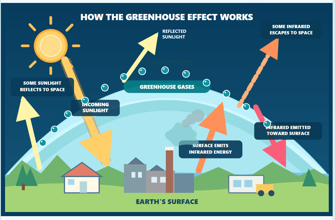
The Greenhouse Effect Learning Lab
Description: Greenhouse Effect: Earth and Venus Interactive Learning Lab – Discover how the greenhouse effect works and why it is essential to life on Earth! In this colorful, interactive learning lab, students explore how sunlight enters Earth's atmosphere, how greenhouse gases absorb and re-emit heat energy, and how human activities can intensify global warming. Students can click on different parts of an illustrated diagram to reveal detailed explanations, adjust greenhouse gas levels to simulate their impact, and toggle between Earth and Venus to compare their dramatically different atmospheres and temperatures. The activity includes a 15-question multiple-choice scavenger hunt with automatic grading, a movable and collapsible question panel, a printable student worksheet, and a separate teacher answer key. Perfect for upper elementary and middle school Earth science!
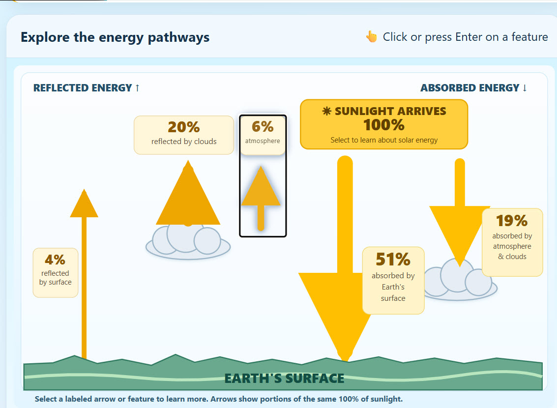
Earth's Energy Budget Learning Lab
Description: Earth's atmosphere, reflects into space, and is absorbed by Earth's surface, clouds, and atmosphere! In this colorful, interactive learning lab, students click on different parts of an easy-to-understand energy diagram to explore solar radiation, reflection, absorption, albedo, and the greenhouse effect. Students can also experiment with Earth's reflectivity to see how it affects energy absorption. The activity includes a movable, collapsible multiple-choice scavenger hunt with automatic grading, a printable student worksheet, and a separate teacher answer key. Perfect for upper elementary and middle school Earth science!
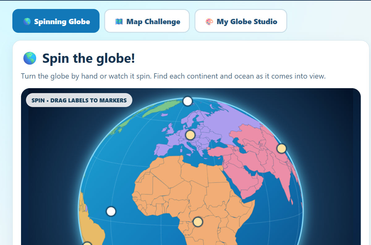
Continents Learning Lab - Amazing!
Description: Spin, explore, and create your own world with Continents and Oceans 2.3 — Spin the World! This exciting interactive geography adventure lets students rotate a 3D globe, identify and label all seven continents and five oceans, and test their knowledge through fun, challenging activities. Switch between a spinning globe and a traditional world map, drag labels to their correct locations, and use hints and scoring to track your progress. In the Globe Coloring Studio, students can paint individual continents and oceans, add their own movable text labels, and save their customized globes. With adjustable difficulty, optional timers, zoom controls, and multiple ways to play, Spin the World transforms geography practice into a hands-on learning adventure!
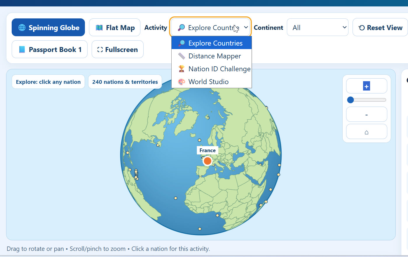
World Nations Explorer and Learning Lab - Amazing!
Description: Travel around the world without leaving your classroom with World Nations Explorer! This massive interactive geography application allows students to explore 240 countries and territories on a spinning, zoomable globe or detailed world map. Click on a nation to discover its flag, capital, population, geographic statistics, and a brief narrative about its history and geography. Measure distances between nations, zoom in to explore smaller countries, and challenge yourself with exciting country identification games covering individual continents or the entire world. The Hot & Cold Nation Challenge gives students real-time proximity clues as they search for countries, showing whether their guesses are getting warmer or colder! Students can also create customized maps and globes by coloring nations and oceans, adding movable text labels, and saving their creations. Perfect for geography lessons, independent exploration, and interactive classroom learning!

Interactive Tides Chart
Description: This chart explains how the moon produces different kinds of tides on Earth. It includes animations and lots of information.

World Biomes Interactive
Description: This awesome interactive map allows students to click on any of the world's major biomes including polar, taiga (boreal forest), grassland, desert, temperate forest, tundra, and more!
Advertisement