

Maps - Historical
This section provides interactive history maps. Simply click or tap a point on the map to learn!
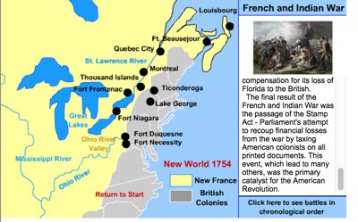
French and Indian war Interactive Map
Description: This interactive map tells all about the causes of the war, effects of the war, and the battles of the war.
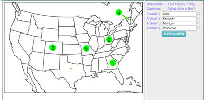
Make your own Map Assessment Exercise
Description: This activity allows teachers to make, save, and deploy interactive map quizzes to students. Choose and design any of 200 maps, then add interactive questions to the map. Save and name the map, copy the code, and distribute the code to students. Students click on the numbered circles on the map to access the questions. The system gives immediate feedback.
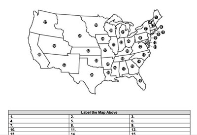
America in 1850 - Label-me Map
Description: This activity requires students to label America as it appeared it 1848.
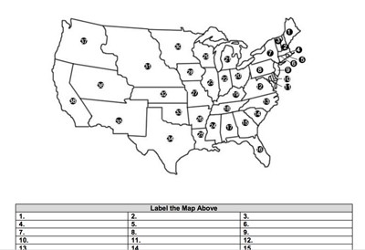
America in 1850 - Blank Map
Description: This is a blank map of America as it was in 1850. Perfect for labeling or coloring.
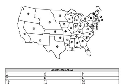
America in 1848 - Blank Map
Description: This is a blank map of America as it was in 1848. Perfect for labeling or coloring.
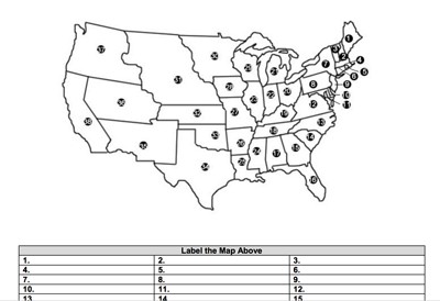
America in 1848 - Label-me Map
Description: This activity requires students to label America as it appeared it 1848.
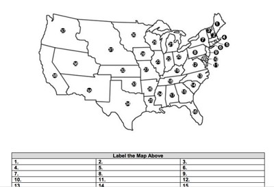
America in 1820 - Label-me Map
Description: This activity requires students to label America as it appeared it 1820.
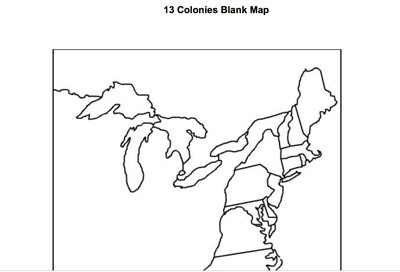
13 Colonies Blank Outline Map
Description: This is an outline map of the original 13 colonies. Perfect for labeling and coloring.

Gettysburg Interactive Battlefield Puzzle
Description: This fun activity requires students to place the Gettysburg battlefield landmarks correct by using clues. Student's must drag and drop such landmarks as Little Round Top, Culp's Hill, Devil's Den, and others to their correct places by clicking on the questions marks. When labels are dragged to their correct places, a panel unlocks, providing information about the significance of the landmark.
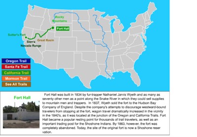
Westward Trails Interactive Map
Description: This interactive map tells all about the Oregon, California, Santa Fe, and Mormon Trails. Simply click on a trail location to learn all about it.
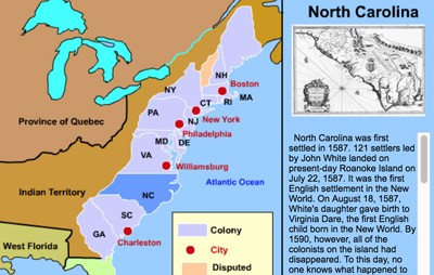
13 Colonies Interactive Map
Description: This awesome map allows students to click on any of the colonies or major cities in the colonies to learn all about their histories and characteristics from a single map and page! Below this map is an interactive scavenger hunt. Answer the multiple choice questions by using the interactive map. You'll get immediate feedback. Alternatively, you can print out the scavenger hunt.

Label-Me Map of America in 1854
Description: This map requires students to label states and territories as they existed in 1854.

Illustrated Map of America in 1820
Description: The map illustrates the United States following the Missouri Compromise in 1820.
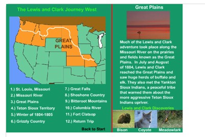
Lewis and Clark Expedition - Interactive
Description: This section provides an interactive map of the Lewis and Clark route to the Pacific. Simply click and learn! Perfect as an introduction to the expedition or for younger kids.

Lewis and Clark Interactive Tour
Description: This magnificent exhibit features an interactive tour of the Lewis and Clark journey.
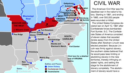
Civil War Battles Interactive Map
Description: The MrNussbaum.com Interactive Battles Map allows kids, teachers, and parents to learn about each of the significant battles from the Civil War simply by clicking its location on the map.
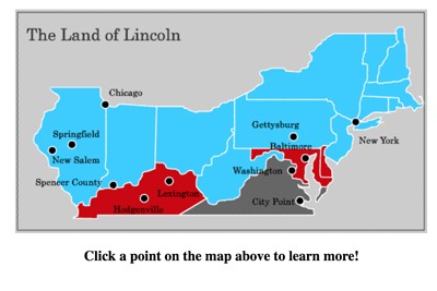
Abraham Lincoln Interactive Map
Description: This interactive map allows students to click and learn about the important American places in the life of Abraham Lincoln.

Civil War Challenge and Discovery
Description: This game will test your knowledge of the affiliation of the states and figures of the Civil War, the locations of the major battles, and the advantages the sides had over each other. With each answer you provide you’ll learn a wealth of information!
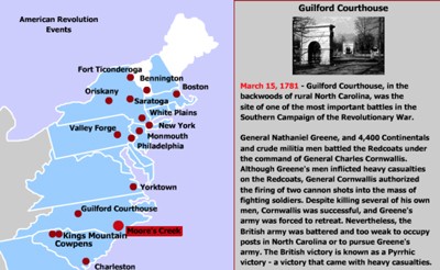
Battles of the Revolutionary War Interactive Map
Description: This awesome map allows students to click on the points of the map to learn more about each battle.
Advertisement
