Advertisement

Oregon - Interactive Map and Map Activities
This section of MrNussbaum.com contains interactive and printable maps of Oregon and its surrounding regions.
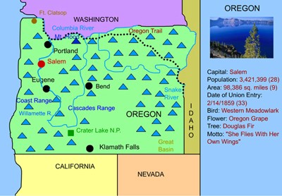
Oregon Interactive Map and Learning Lab
Description: This interactive map allows students to learn all about Oregon's cities, landforms, landmarks, and places of interest by simply clicking on the points of the map.
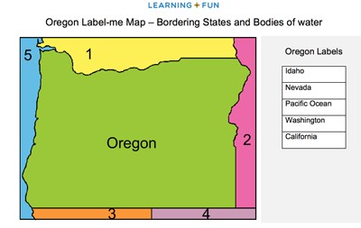
Oregon Label-me Quiz
Description: This activity requires students to identify the states and body of water that surround Oregon.

Oregon Outline Map
Description: This map is perfect for labeling and coloring.

Oregon Fact Sheet
Description: This map and fact sheet is perfect for state reports and projects.
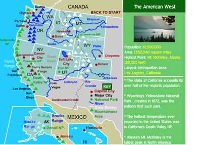
Western States Interactive Map
Description: This interactive map allows students to learn all about the states, cities, landforms, landmarks, and places of interest in the American West, by simply clicking on the points of the map.
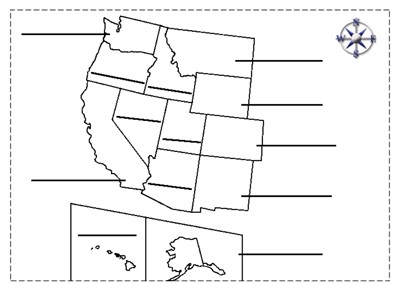
Western States Label-me Map
Description: This map requires students to label the states of the western United States.
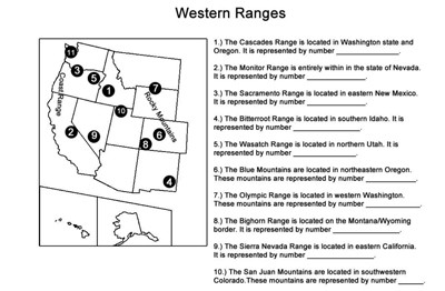
Western Ranges Identification
Description: This activity describes the various mountain ranges in the western United States and requires students to identify the states in which they occur.
Advertisement