
World Deserts - Desert Nations
This section includes interactive maps of nations dominated by desert landscapes.
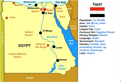
Egypt Interactive Map
Description: This is an interactive map of the Egypt. Students simply click on the points of the map to learn all about them.

Egypt Interactive Scavenger Hunt
Description: This fun activity requires students to answer online questions using the Egypt interactive map. It gives immediate feedback.

Libya Interactive Map
Description: This is an interactive map of the Sahara Desert nation of Libya. Students simply click on the points of the map to learn all about Mali.

Tunisia Interactive Map
Description: This is an interactive map of the Sahara Desert nation of Tunisia. Students simply click on the points of the map to learn all about Tunisia.
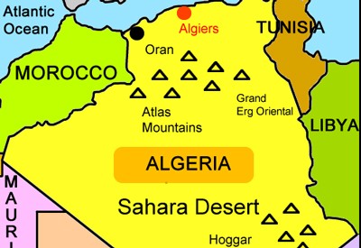
Algeria Interactive Map
Description: This is an interactive map of the Sahara Desert nation of Algeria. Students simply click on the points of the map to learn all about Algeria.

Morocco Interactive Map
Description: This is an interactive map of the Sahara Desert nation of Morocco. Students simply click on the points of the map to learn all about Morocco.

Mali Interactive Map
Description: This is an interactive map of the Sahara Desert nation of Mali. Students simply click on the points of the map to learn all about Mali.
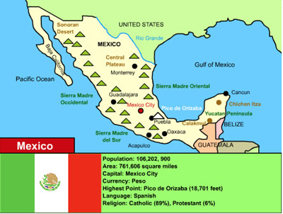
Mexico Interactive Map
Description: This is an interactive map of Mexico. Students simply click on the points of the map to learn all about Mexico.
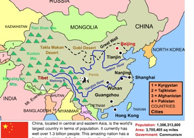
China Interactive Map
Description: This interactive map allows students to learn all about New China's cities, landforms, landmarks, and places of interest by simply clicking on the points of the map.

Australia and Oceania interactive Map
Description: This interactive map allows students to learn all about the history and features of Australia and Oceania. Simply click and learn.

Arizona Interactive Map
Description: This interactive map allows students to learn all about Arizona's cities, landforms, landmarks, and places of interest by simply clicking on the points of the map.

Nevada Interactive Map
Description: This interactive map allows students to learn all about Nevada's cities, landforms, landmarks, and places of interest by simply clicking on the points of the map.

California Interactive Map
Description: This interactive map allows students to learn all about California's cities, landforms, landmarks, and places of interest by simply clicking on the points of the map.
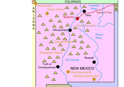
New Mexico Interactive Map and History
Description: This interactive map allows students to learn all about New Mexico's cities, landforms, landmarks, and places of interest by simply clicking on the points of the map.
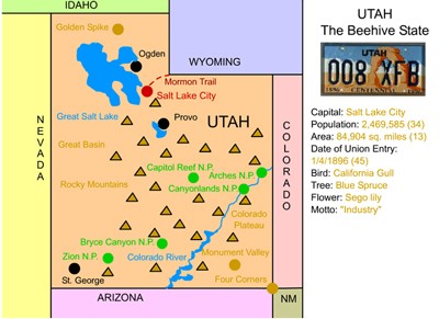
Utah Interactive Map
Description: This interactive map allows students to learn all about Utah's cities, landforms, landmarks, and places of interest by simply clicking on the points of the map.
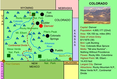
Colorado Interactive Map and History
Description: This interactive map allows students to learn all about Colorado's cities, landforms, landmarks, and places of interest by simply clicking on the points of the map. State history timeline is also included.
Advertisement
