Advertisement

Vermont - Interactive Map and Map Activities
This section of MrNussbaum.com contains interactive and printable maps of Vermont and its surrounding regions.
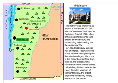
Vermont Interactive Map and Learning Lab
Description: This resource allows students to learn all about the important cities, landforms, landmarks, and places of interest in Vermont, simply by clicking them on the map. Use this map with the Vermont Scavenger Hunt

Vermont Printable Scavenger Hunt
Description: This scavenger hunt is designed for use with the Vermont interactive map.
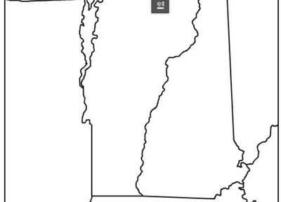
Vermont Outline Map
Description: This is a Vermont outline map
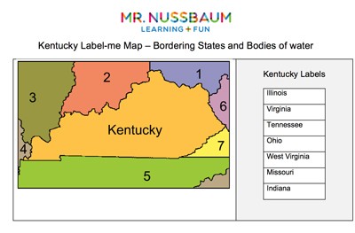
Vermont Label-me Quiz
Description: This activity requires students to label Vermont's surrounding states and waterways.
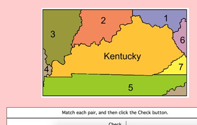
Vermont Label-me Map - Online
Description: This activity requires students to identify Vermont's surrounding states. It gives immediate feedback.

Vermont Fact Sheet
Description: This map and fact sheet is perfect for state reports and projects.

New England Interactive Map
Description: This interactive map allows students to learn all about New England's states, cities, landforms, landmarks, and places of interest by simply clicking on the points of the map.
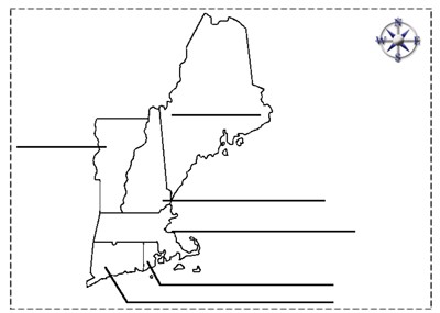
New England States Outline
Description: This is a New England outline map that students can color and label

The Many Names of the Appalachian Sub-Ranges
Description: This activity requires students to match the Appalachian sub-range with its correct state. For example, that the Berkshires are in Massachusetts. Clues are given!

The Thing About Springfield
Description: This resource requires students to color in all of the states that contain a Springfield. There are 32 and the states are listed. Great state identification activity!
Advertisement