
Utah - Interactive Map and Map Activities
This section of MrNussbaum.com contains interactive and printable maps of Utah and its surrounding regions.
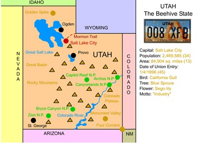
Utah Interactive Map
Description: This interactive map allows students to learn all about Utah's cities, landforms, landmarks, and places of interest by simply clicking on the points of the map.
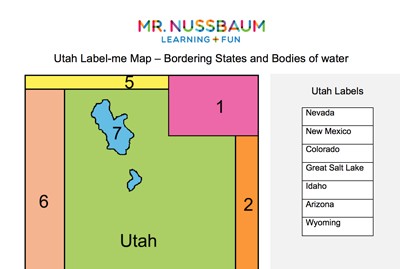
Utah Map Quiz
Description: This activity requires students to identify Utah's surrounding states and the Great Salt Lake

Utah Fact Sheet
Description: This map and fact sheet is perfect for state reports and projects.
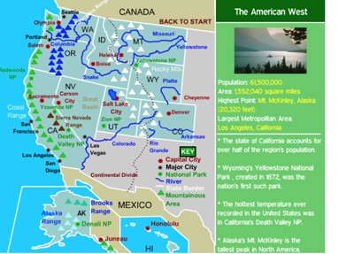
Western States Interactive Map
Description: This interactive map allows students to learn all about the states, cities, landforms, landmarks, and places of interest in the American West, by simply clicking on the points of the map.
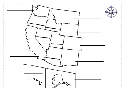
Western States Label-me Map
Description: This map requires students to label the states of the western United States.

Utah Scavenger Hunt
Description: This scavenger hunt is designed for use with the Utah interactive map.
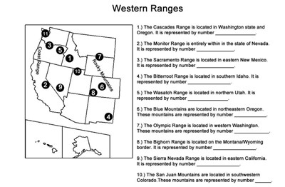
Western Ranges Identification
Description: This activity describes the various mountain ranges in the western United States and requires students to identify the states in which they occur.
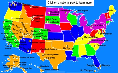
National Parks Interactive Map
Description: This section features an interactive map of America's 58 national parks. Clicking on the map allows students to learn about the national park of interest, as well as watch a narrated video. Students can learn about Yellowstone, Yosemite, Death Valley, Everglades, Denali, Rocky Mountain, Arches, and many more. Perfect for state reports or reports on America's national parks.
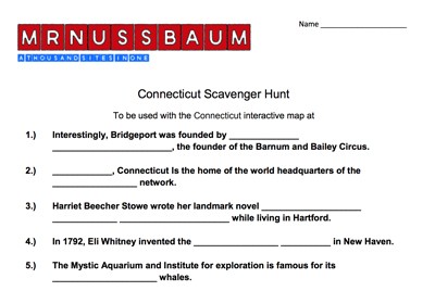
National Parks Scavenger Hunt
Description: This is designed to be used with the National Parks Interactive Map.
Advertisement
