

United States Landmarks and Land Regions - Interactive Maps and Map Activities
This section numerous coloring pages featuring important United States landmarks.
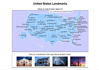
United States Landmarks Interactive Map
Description: This brilliant clickable map allows students to click on any of 60 of America's most famous man-made and natural landmarks to learn about their features in history. Great for state, landmark, or monument research.

United States Landmarks Scavenger Hunt Version 1
Description: This scavenger hunt is designed for use with the United States Landmarks Interactive Map

United States Landmarks Scavenger Hunt Version 2
Description: This scavenger hunt is designed for use with the United States Landmarks Interactive Map

Postcards Across America
Description: This fun activity requires students to become familiar with America's national parks (or cities, landforms, landmarks, or states) by visiting the National Parks Interactive Map. Students pretend they are embarking on a tour of America's national parks and must write a postcard (to whomever they want) from four national parks (or states, cities, landmarks, or landforms). Each postcard must include a colorful picture and a brief description and/or history of the setting. An example is provided. Great project opportunity that integrates writing, reading, art, and U.S. geography.
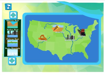
Landforms Central
Description: This educational game requires students to drag and drop the animated landforms and bodies of water to their correct places on the map of America. Examples include the Mississippi and Missouri Rivers, the Rocky Mountains and many others.
Advertisement
