

South America Interactive Maps
This section contains interactive maps, facts, descriptions, statistics, and flag summaries of many South American nations. Click on the points of the map to learn. Excellent for research!
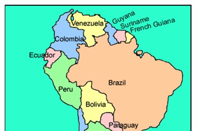
South America Interactive Map
Description: This interactive map allows students to click on any of the countries to read a short summary and to see basic statistics.

Brazil Interactive Map
Description: This interactive map allows students to learn all about Brazil's cities, landforms, landmarks, and places of interest by simply clicking on the points of the map.

Argentina Interactive Map and Interesting Facts
Description: This interactive map allows students to click on the points of interest in Argentina to learn detailed information. The page also includes the nation's flag and meaning, and ten interesting facts.

Peru Interactive Map and Interesting Facts
Description: This interactive map of Peru allows students to click on points of interest to learn about them. In addition, the page features interesting facts, statistics, and the symbolism of the the flag.

Chile Interactive Map and Interesting Facts
Description: This interactive map of Chile allows students to click on points of interest to learn about them. In addition, the page features interesting facts, statistics, and the symbolism of the flag.

Bolivia Interactive Map and Interesting Facts
Description: This interactive map of Bolivia allows students to click on points of interest to learn about them. In addition, the page features interesting facts, statistics, and the symbolism of the flag.

Colombia Interactive Map and Interesting Facts
Description: This interactive map allows students to click on the points of the map to learn about them. It also provides interesting facts and historical information.

Venezuela Interactive Map and Interesting Facts - Online
Description: This beautiful interactive map allows students to click on any part of Venezuela to learn more about its cities, points of interest, and rivers. It also provides ten interesting facts about Venezuela as well as statistics and information about its flag. Perfect for country reports!

Interactive World Map and World Map Games
Description: This is an incredible map of the world that allows students to explore an interactive map of the world, or, play games testing their knowledge of the nations or waterways of the world. Works on all devices!

Amazon Interactive
Description: This interactive Amazon exhibit allows students to click and learn about the layers of the forest, the water cycle, the wildlife, and the products harvested from the Amazon Rainforest.

World Biomes Interactive
Description: This awesome interactive map allows students to click on any of the world's major biomes including polar, taiga (boreal forest), grassland, desert, temperate forest, tundra, and more!
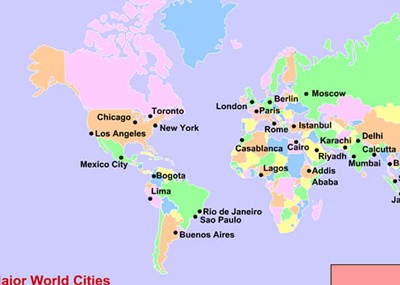
World Cities Interactive Map
Description: This map allows students to click on any of 35 major world cities such a New York, London, Paris, Mumbai, Shanghai, Tokyo, Seoul, Sydney, and many more to learn about their histories, attractions, landmarks, and much more.

World Cities Scavenger Hunt Version 1
Description: This scavenger hunt is designed for use with the world cities interactive map

World Cities Scavenger Hunt Version 2
Description: This scavenger hunt is designed for use with the world cities interactive map
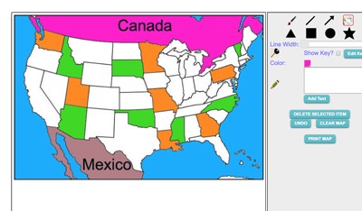
Maptivation - Online Map Making
Description: This is an awesome resource that allows kids to label and color maps online. States, regions, nations, and more are available. It can be a bit "glitchy" at time as the kids say, but by and large it is perfect for online coloring, printing, and labeling maps. Fill tool problem is now FIXED.
Advertisement
