
North America Label me Maps and Map Activities
This section contains printable and online label-me maps for many North American nations.
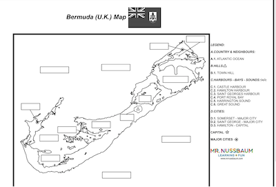
Bermuda label-me Map
Description: This is the answer sheet associated with the Bermuda Label-me map

Canada Provinces and Surrounding Waterways Identification Quiz
Description: This activity requires students to identify the Canadian provinces and important bodies of water.

Canada Provinces and Surrounding Waterways Identification Quiz - Online
Description: This activity requires students to identify the Canadian provinces and important bodies of water. It gives immediate feedback

Canada Surrounding Nations and Waterways Identification Quiz - Online
Description: This activity requires students to identify the Canada's surrounding nations important bodies of water.

Canada Surrounding Nations and Waterways Identification Quiz
Description: This activity requires students to identify the Canada's surrounding nations important bodies of water.
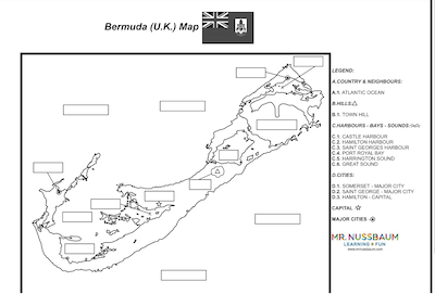
Bermuda label-me Map Answer Sheet
Description: This is the answer sheet associated with the Bermuda Label-me map
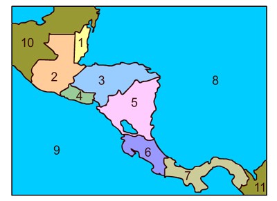
Central America Map Quiz
Description: This is a printable Central America map quiz. Students must label nations, bodies of water, and bordering nations. This activity comes with a word bank.

Central America Map Quiz - Online
Description: This is the online version of the Central America map quiz. It gives immediate feedback.
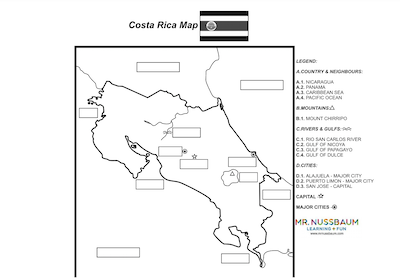
Costa Rica Label-me Map
Description: This activity requires students to label the capital, major cities, rivers, and mountains within Costa Rica. A word bank is provided. Students can either write the labels on the map, or, use the associated characters (e.g. D.1). An answer sheet is provided in a separate document
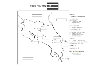
Costa Rica Label-me Map Answer Sheet
Description: This activity provides the answers for the Costa Rica label-me map.

Dominican Republic Printable Outline Map
Description: This is a blank outline map of the Dominican Republic. Perfect for coloring and labeling.

El Salvador Outline Map
Description: This is an outline map of El Salvador. Perfect for coloring and labeling.
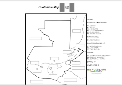
Guatemala Label-me Map
Description: This activity requires students to label the capital, major cities, rivers, and mountains within Guatemala A word bank is provided. Students can either write the labels on the map, or, use the associated characters (e.g. D.1). An answer sheet is provided in a separate document
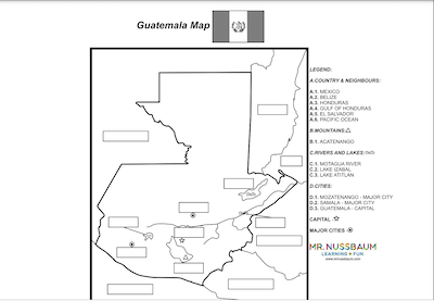
Guatemala Label-me Map Answer Sheet
Description: This activity provides the answers for the Guatemala label-me map.

Guatemala Outline Map
Description: This is a Guatemala outline map. Perfect for coloring or labeling
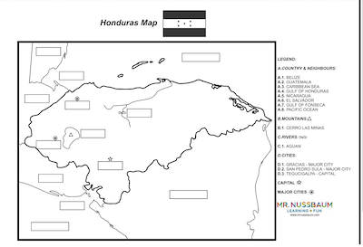
Honduras Label-me Map
Description: This activity requires students to label the capital, major cities, rivers, and mountains within Honduras. A word bank is provided. Students can either write the labels on the map, or, use the associated characters (e.g. D.1). An answer sheet is provided in a separate document
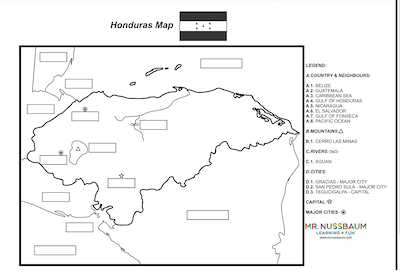
Honduras Label-me Map Answer Sheet
Description: This activity provides the answers for the Honduras label-me map.

Honduras Outline Map
Description: This is an outline map of Honduras. Perfect for labeling and coloring.
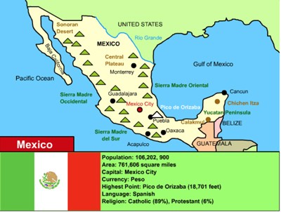
Mexico Label-me Map Quiz -Online
Description: This resource requires students to label a numbered map of Mexico. Immediate feedback is given.
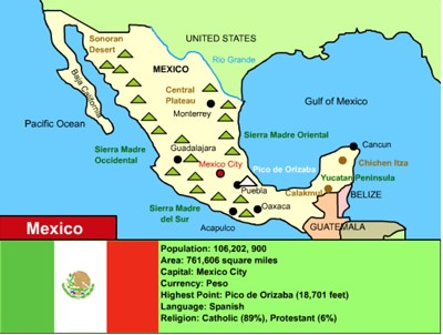
Mexico Map Skills - Online
Description: This online activity requires students to practice their map skills by investigating the map of Mexico. This activity provides immediate feedback.
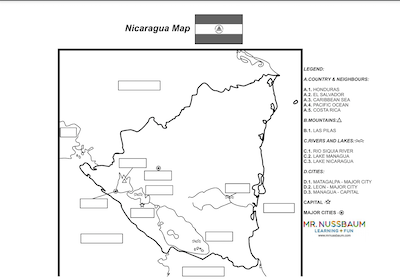
Nicaragua label-me Map
Description: This is the answer sheet associated with the Nicaragua Label-me map

Nicaragua Label-me Map Answer Sheet
Description: This is the answer sheet associated with the Nicaragua Label-me map
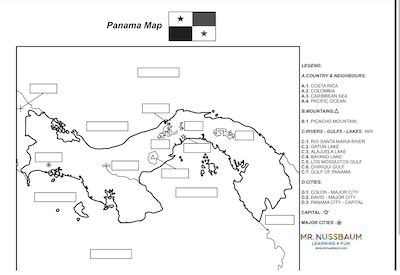
Panama label-me Map
Description: This is the answer sheet associated with the Panama Label-me map
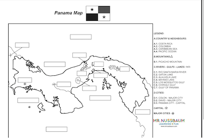
Panama Label-me Map Answer Sheet
Description: This is the answer sheet associated with the Panama Label-me map

Panama Outline Map
Description: This Panama outline map is perfect for coloring and labeling.
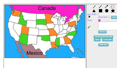
Maptivation - Online Map Making
Description: This is an awesome resource that allows kids to label and color maps online. States, regions, nations, and more are available. It can be a bit "glitchy" at time as the kids say, but by and large it is perfect for online coloring, printing, and labeling maps. Fill tool problem is now FIXED.
Advertisement
