Advertisement


North America Interactive Maps
This section contains interactive maps, facts, descriptions, statistics, and flag summaries of North American nations. Click on the points of the map to learn. Excellent for research!

United States Learning Lab
Description: The United States Learning Lab is an interactive geography experience that helps students explore all 50 states through maps, challenges, comparisons, and creative activities. Students can investigate states, cities, capitals, national parks, landmarks, landforms, and Native Nations, then use Maptivation to create and customize their own U.S. maps.
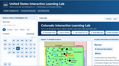
50 States Interactive Map Central - All 50 States in a Single Program
Description: Explore all 50 states and Washington, D.C., with the United States Interactive Learning Labs! This massive collection of 51 interactive state maps allows students to discover hundreds of fascinating cities, historical landmarks, geographic features, and natural wonders through clickable locations, detailed informational passages, photographs, and narration. Each state includes four engaging learning activities: Scavenger Hunt, Fact or Fiction, Two Truths and a Lie, and Map Skills, which challenges students to identify cardinal and intermediate directions using actual map locations. With more than 2,000 questions across the collection, all activities feature online answer checking and printable student worksheets with separate teacher answer keys. Students can explore individual states or use the unified application to navigate the entire country. Featuring updated state statistics, adjustable text sizes, fullscreen functionality, and accessibility features, these Learning Labs are ideal for upper elementary and middle school social studies, geography instruction, independent exploration, classroom centers, and research projects!
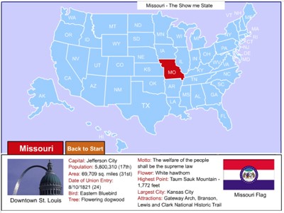
United States Interactive Map
Description: Click on any state in the United States map to learn about important facts such as symbols, area, population, motto, and more.
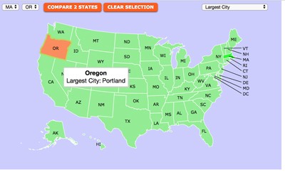
United States Symbols and Statistics Interactive Map
Description: This awesome interactive map allows students to learn all about state symbols such as bird, tree, flower, motto, nickname or state statistics such as area, population, highest point, electoral value and more, simply by selecting the information of interest and then mousing over the states. Incredible research tool. Enjoy the scavenger hunts that go with this map.
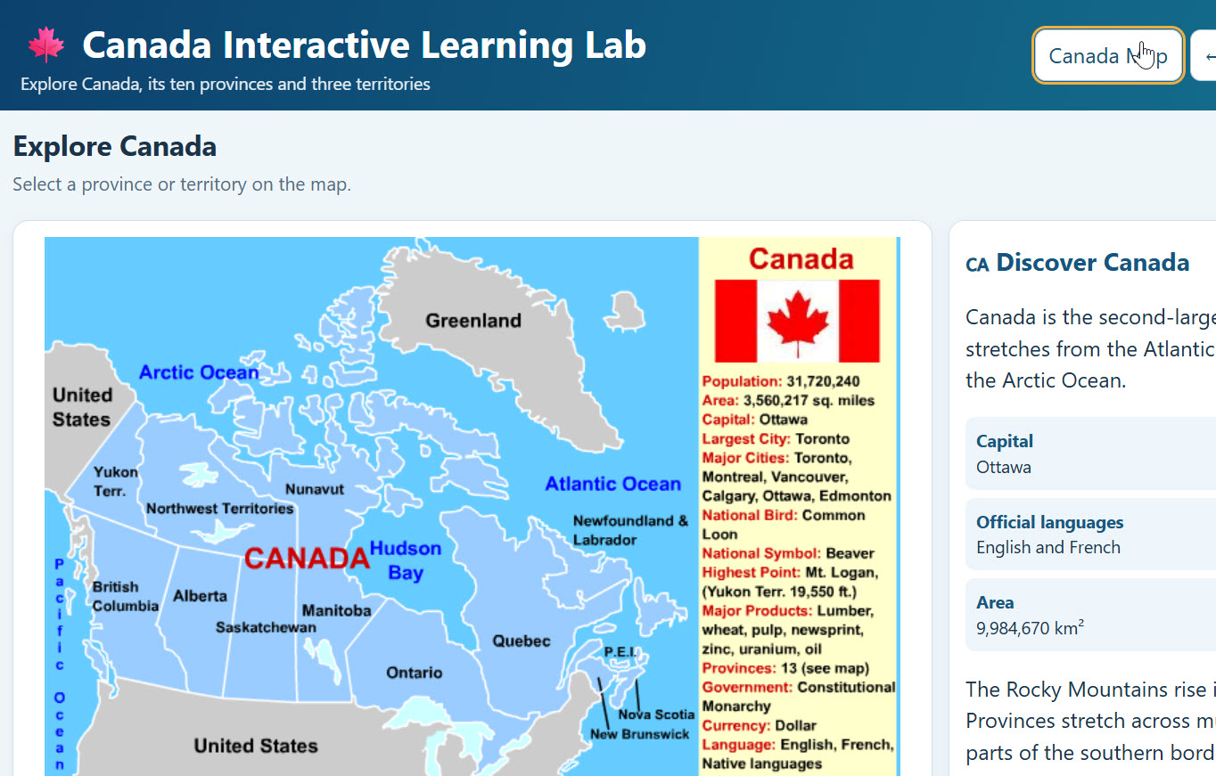
Canada Interactive Map with Provinces and Territories 2.0 - Amazing
Description: Explore Canada like never before with the Canada Interactive Learning Lab! Students can explore all 10 Canadian provinces and three territories through interactive maps featuring clickable cities, landmarks, natural wonders, and historical sites. Each location includes educational descriptions and photographs. Students can test their knowledge with interactive scavenger hunts, automatic grading, and printable worksheets with answer keys. Includes a Canada overview, provincial facts, narration, fullscreen functionality, and accessibility features. Perfect for grades 4–8 studying Canadian geography, history, and culture!
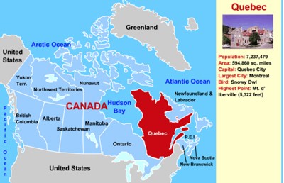
Canada Interactive Map
Description: This interactive map allows students to learn all about Canada's provinces by simply clicking on the points of the map.

Canada Interactive Scavenger Hunt
Description: This activity requires students to use the interactive map to answer the ten multiple choice and multi-select questions. It gives immediate feedback.
Canada Printable Scavenger Hunt
Description: This activity requires students to use the interactive map to answer the ten multiple choice and multi-select questions.
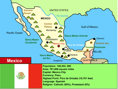
Mexico Interactive Map
Description: This is an interactive map of Mexico. Students simply click on the points of the map to learn all about Mexico.

Mexico Interactive Scavenger Hunt
Description: This activity includes an embedded interactive map of Mexico into an online quiz. Students imply click on the points of the map to find the answers. This scavenger hunt gives immediate feedback.
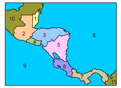
Central America Interactive Map
Description: This interactive map of Central America allows students to click on any of the Central American nations to access interactive maps. Includes interactive maps of Belize, Costa Rica, Honduras, Guatemala, El Salvador, Nicaragua, and Panama.

Central America Scavenger Hunt
Description: This scavenger hunt in designed for use with the Central America interactive map.

Cuba Interactive Map and Interesting Facts
Description: This interactive map allows students to click on the points of the map to learn about them. It also provides interesting facts and historical information.
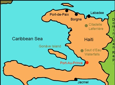
Haiti Interactive Map and Interesting Facts
Description: This is an interactive map of the Haiti. Students simply click on the points of the map to learn all about it. It also includes important statistics, interesting facts, and information about the flag.
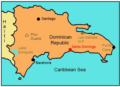
Dominican Republic Interactive Map and Interesting Facts
Description: This is an interactive map of the Dominican Republic. Students simply click on the points of the map to learn all about it. It also includes important statistics, interesting facts, and information about the flag.

North America Interactive Map
Description: Students can click on the nations of North America and learn about the population, area, rankings, and more of each!

North America Map Identification
Description: How well can you identify the nations of North America on a map? This activity gives immediate feedback

North American Flag Quiz
Description: Find out how if you can identify the flags of North American nations. This activity gives immediate feedback

North American Capitals - Online
Description: How well can you identify the capitals of North American countries? This activity gives immediate feedback.

Interactive World Map and World Map Games
Description: This is an incredible map of the world that allows students to explore an interactive map of the world, or, play games testing their knowledge of the nations or waterways of the world. Works on all devices!
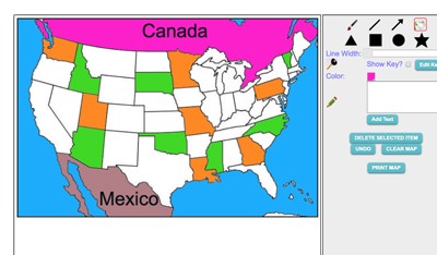
Maptivation - Online Map Making
Description: This is an awesome resource that allows kids to label and color maps online. States, regions, nations, and more are available. It can be a bit "glitchy" at time as the kids say, but by and large it is perfect for online coloring, printing, and labeling maps. Fill tool problem is now FIXED.

World Biomes Interactive
Description: This awesome interactive map allows students to click on any of the world's major biomes including polar, taiga (boreal forest), grassland, desert, temperate forest, tundra, and more!
Advertisement