
Montana - Interactive Map and Map Activities
This section of MrNussbaum.com contains interactive and printable maps of Montana and its surrounding regions.

Montana Interactive Map
Description: This interactive map allows students to learn all about Montana's cities, landforms, landmarks, and places of interest by simply clicking on the points of the map.

Montana Interactive Scavenger Hunt
Description: Use the interactive map on top to answer the multiple choice questions below. The activity gives immediate feedback.
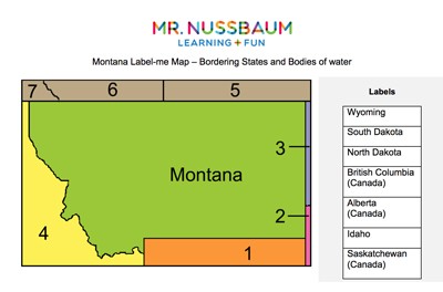
Montana Label-me Quiz
Description: This activity requires students to identify Montana's surrounding states and Canadian provinces.

Montana Outline Map
Description: This map is perfect for labeling and coloring.
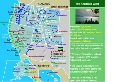
Western States Interactive Map
Description: This interactive map allows students to learn all about the states, cities, landforms, landmarks, and places of interest in the American West, by simply clicking on the points of the map.
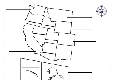
Western States Label-me Map
Description: This map requires students to label the states of the western United States.
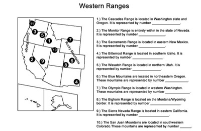
Western Ranges Identification
Description: This activity describes the various mountain ranges in the western United States and requires students to identify the states in which they occur.
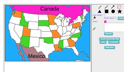
Maptivation - Online Map Making
Description: This is an awesome resource that allows kids to label and color maps online. States, regions, nations, and more are available. It can be a bit "glitchy" at time as the kids say, but by and large it is perfect for online coloring, printing, and labeling maps. Fill tool problem is now FIXED.
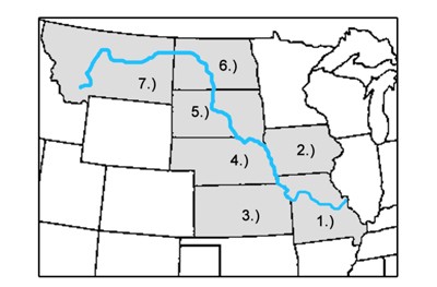
Missouri River States Label-me Map
Description: This activity requires students to label the Missouri River states.
Advertisement
