
Maine - Interactive Map and Map Activities
This section contains interactive and printable maps of Maine and its surrounding regions
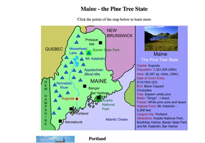
Maine Interactive Map
Description: This activity allows students to learn all about the landmarks, cities, waterways, and landforms of Maine, simply by clicking on its points. Use this map with the printable Maine scavenger hunt.

Maine Fact Sheet
Description: This is simply a detailed state map with symbols and statistics

Maine Outline Map
Description: This is a outline map of Maine and bordering states. Perfect for quizzes or state reports.

Maine Map Quiz
Description: This is a map quiz that requires students to identify bordering states, bodies of water, and Canadian provinces.
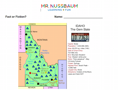
The Maine Map - Fact or Fiction
Description: This activity requires students to analyze eight statements about the Maine map and determine whether each is fact or fiction.

New England Interactive Map
Description: This interactive map allows students to learn all about New England's states, cities, landforms, landmarks, and places of interest by simply clicking on the points of the map.
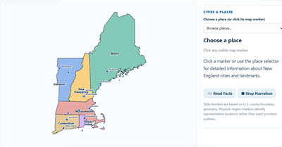
New England Interactive Map and Learning Lab 2.0
Description: Explore the six New England states with this comprehensive interactive geography program! Students can discover important cities, mountain ranges, physical regions, and historical landmarks, including a special zoomable Boston map. Click locations to read detailed information or listen to narrated descriptions. Activities include a Region Challenge, a randomized 15-question online and printable scavenger hunt, and an advanced Map Creator where students can color states, add and move labels, draw, customize, and print their own maps. Perfect for geography, history, and social studies instruction!
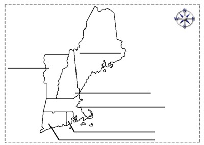
New England States Outline
Description: This is a New England outline map that students can color and label

The Many Names of the Appalachian Sub-Ranges
Description: This activity requires students to match the Appalachian sub-range with its correct state. For example, that the Berkshires are in Massachusetts. Clues are given!

The Thing About Springfield
Description: This resource requires students to color in all of the states that contain a Springfield. There are 32 and the states are listed. Great state identification activity!
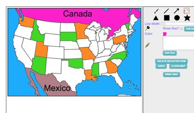
Maptivation - Online Map Making
Description: This is an awesome resource that allows kids to label and color maps online. States, regions, nations, and more are available. It can be a bit "glitchy" at time as the kids say, but by and large it is perfect for online coloring, printing, and labeling maps. Fill tool problem is now FIXED.
Advertisement
