
Iowa - Interactive Map and Map Activities
This section contains interactive and printable maps of Iowa and its surrounding regions.

Iowa Interactive Map
Description: This interactive map allows students to learn all about Iowa's cities, landforms, landmarks, and places of interest by simply clicking on the points of the map.
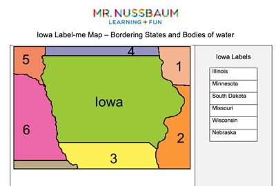
Iowa Label-me Map Quiz
Description: This activity requires students to label Iowa's surrounding states.

Iowa Fact Sheet
Description: This map and fact sheet is perfect for state reports and projects.
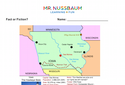
The Iowa Map - Fact or Fiction
Description: This activity requires students to analyze eight statements about the Iowa map and determine whether each is fact or fiction.

Iowa Outline Map
Description: This Iowa outline map is perfect for coloring and labeling.
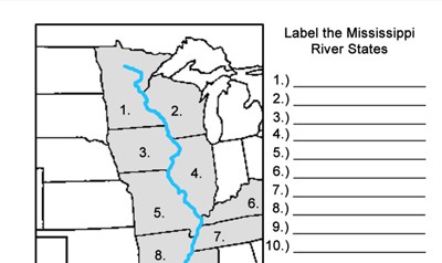
Mississippi River States
Description: This activity requires students to identify the Mississippi River states.
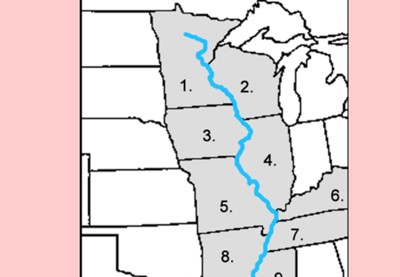
Mississippi River States Quiz - Online
Description: This quiz requires students to identify the Mississippi River states.
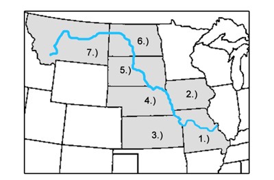
Missouri River States Label-me Map
Description: This activity requires students to label the Missouri River states.
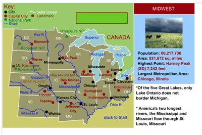
Midwestern States Interactive Map
Description: This interactive map allows students to learn all about the cities, landforms, landmarks, and places of interest of the midwestern states by simply clicking on the points of the map.

Midwestern States Interactive Map and Learning Lab 2.0
Description: Explore the 12 Midwestern states with this comprehensive interactive Geography & History Learning Lab! Students can investigate clickable maps featuring important cities, mountain ranges, landforms, and historical landmarks, with detailed mini-articles and narration. A special Great Lakes Explorer features an accurate, interactive map of all five Great Lakes. Additional activities include Midwest State Quest, a randomized 15-question online and printable scavenger hunt, and an advanced Map Creator where students can color states, add and move labels, draw, and print customized maps. Perfect for geography, history, and social studies instruction!
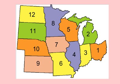
Midwestern States Label-me Quiz - Online
Description: This activity requires students to identify the midwestern states.
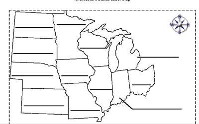
Midwestern States Label-me Map
Description: This is an outline of the Midwestern states for students to label and color.
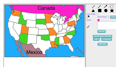
Maptivation - Online Map Making
Description: This is an awesome resource that allows kids to label and color maps online. States, regions, nations, and more are available. It can be a bit "glitchy" at time as the kids say, but by and large it is perfect for online coloring, printing, and labeling maps. Fill tool problem is now FIXED.
Advertisement
