
Interactive Continents Maps
The section contains interactive maps of six of the seven continents. Students simply click on a nation to learn all about it.
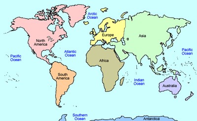
Interactive Continents - Click and Learn
Description: This resource allows students to click on any of the seven continents to learn all about them.

North America Interactive Map
Description: Students can click on the nations of North America and learn about the population, area, rankings, and more of each!
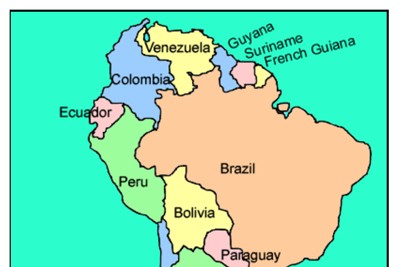
South America Interactive Map
Description: This interactive map allows students to click on any of the countries to read a short summary and to see basic statistics.
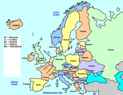
Europe Interactive Map
Description: This interactive map allows students to learn all about the european nations simply clicking on the points of the map.
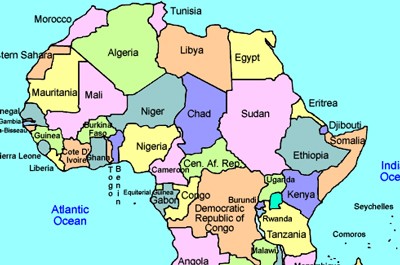
Africa Interactive Map
Description: This is an interactive map of the continent of Africa. Simply click on a country to see its statistics and basic information.
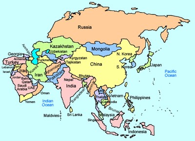
Asia Interactive Map
Description: This is an interactive map of Asia and its countries. Simply click on country in Asia to learn about its population, size, money, and more!

Australia and Oceania interactive Map
Description: This interactive map allows students to learn all about the history and features of Australia and Oceania. Simply click and learn.
Advertisement
