Advertisement

Delaware - Interactive Map and Map Activities
This section of MrNussbaum.com contains interactive and printable maps of Delaware and its surrounding regions.

Delaware Interactive Map
Description: This interactive map allows students to learn all about Delaware's cities, landforms, landmarks, and places of interest by simply clicking on the points of the map.
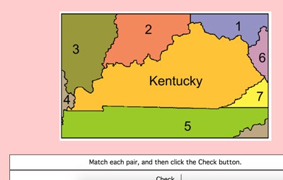
Delaware Label-me Map - Online
Description: This activity requires students to identify Maryland's surrounding states. It gives immediate feedback.
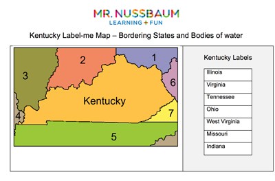
Delaware Label-me Quiz
Description: This activity requires students to label Delaware's surrounding states and waterways.

Delaware Outline Map
Description: This is a Delaware outline map for students to label and color.

Delaware Fact Sheet
Description: This map and fact sheet is perfect for state reports and projects.
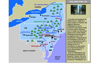
Mid-Atlantic States Interactive Map
Description: This interactive map allows students to learn all about the Mid-Atlantic states, cities, landforms, landmarks, and places of interest by simply clicking on the points of the map.
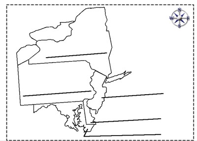
Mid-Atlantic States Label-me Quiz
Description: This quiz requires students to color and label the Mid-Atlantic states.
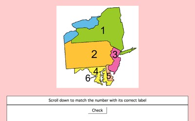
Mid-Atlantic States Label-me Quiz - Online
Description: This interactive quiz requires students to identify the Mid-Atlantic States. This gives immediate feedback.
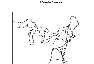
13 Colonies Blank Outline Map
Description: This is an outline map of the original 13 colonies. Perfect for labeling and coloring.
Advertisement