Advertisement


Canada Interactive Maps and Label me Maps
This section contains interactive maps and label-me maps of Canada.
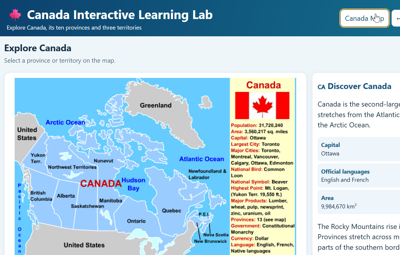
Canada Interactive Map with Provinces and Territories 2.0 - Amazing
Description: Explore Canada like never before with the Canada Interactive Learning Lab! Students can explore all 10 Canadian provinces and three territories through interactive maps featuring clickable cities, landmarks, natural wonders, and historical sites. Each location includes educational descriptions and photographs. Students can test their knowledge with interactive scavenger hunts, automatic grading, and printable worksheets with answer keys. Includes a Canada overview, provincial facts, narration, fullscreen functionality, and accessibility features. Perfect for grades 4–8 studying Canadian geography, history, and culture!
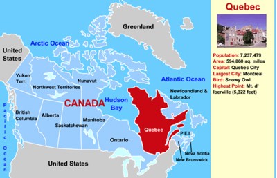
Canada Interactive Map
Description: This interactive map allows students to learn all about Canada's provinces by simply clicking on the points of the map.

Canada Interactive Scavenger Hunt
Description: This activity requires students to use the interactive map to answer the ten multiple choice and multi-select questions. It gives immediate feedback.
Canada Printable Scavenger Hunt
Description: This activity requires students to use the interactive map to answer the ten multiple choice and multi-select questions.

Wildlife of the Boreal Forest - Interactive Scavenger Hunt
Description: This interactive scavenger hunt requires students to browse the wildlife of the boreal forest interactive exhibit to find the answers to the multiple choice, multi-select, and fill in the blanks questions. It gives immediate feedback.

Canada Surrounding Nations and Waterways Identification Quiz - Online
Description: This activity requires students to identify the Canada's surrounding nations important bodies of water.

Canada Provinces and Surrounding Waterways Identification Quiz - Online
Description: This activity requires students to identify the Canadian provinces and important bodies of water. It gives immediate feedback

Canada Surrounding Nations and Waterways Identification Quiz
Description: This activity requires students to identify the Canada's surrounding nations important bodies of water.

Canada Provinces and Surrounding Waterways Identification Quiz
Description: This activity requires students to identify the Canadian provinces and important bodies of water.

North America Interactive Map
Description: Students can click on the nations of North America and learn about the population, area, rankings, and more of each!
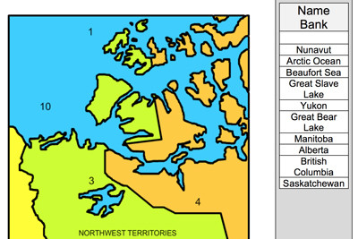
Canadian Provinces and Territories - All 13 Label-Me Maps
Description: This is a set of all 13 Canadian provinces and territories label-me maps. Available on MrN365.com

Canadian Provinces and Territories - All 13 Outline Maps
Description: This is a set of all 13 Canadian provinces and territories outline maps. Available on MrN365.com
Advertisement