

Australia and Oceania Interactive Map and Map Activities
This section contains a clickable interactive map of Australia and associated interactive and printable activities, including scavenger hunts!

Australia and Oceania interactive Map
Description: This interactive map allows students to learn all about the history and features of Australia and Oceania. Simply click and learn.

Australia and Oceania Map Quiz - Online
Description: This map quiz requires students to identify the island nations that make up Oceania.

Australia Provinces Map Quiz - Online
Description: This map quiz requires students to identify the Australia's provinces.

Australia Blank Map
Description: This is a printable Australia Map
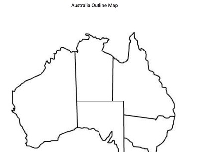
Australia Blank Province Map
Description: This is a printable Australia province map.

Continents and Oceans Quiz - Online
Description: This online quiz challenges students to identify the continents and oceans.
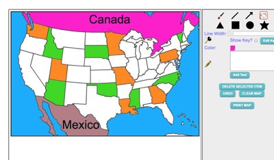
Maptivation - Online Map Making
Description: This is an awesome resource that allows kids to label and color maps online. States, regions, nations, and more are available. It can be a bit "glitchy" at time as the kids say, but by and large it is perfect for online coloring, printing, and labeling maps. Fill tool problem is now FIXED.
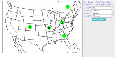
Make your own Map Assessment Exercise
Description: This activity allows teachers to make, save, and deploy interactive map quizzes to students. Choose and design any of 200 maps, then add interactive questions to the map. Save and name the map, copy the code, and distribute the code to students. Students click on the numbered circles on the map to access the questions. The system gives immediate feedback.
Advertisement
