

Asia Interactive Maps
This section contains interactive maps, facts, descriptions, statistics, and flag summaries of many South American nations. Click on the points of the map to learn. Excellent for research!
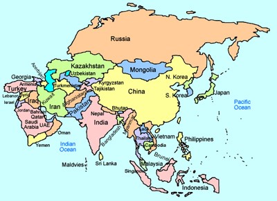
Asia Interactive Map
Description: This is an interactive map of Asia and its countries. Simply click on country in Asia to learn about its population, size, money, and more!

Asia Flag Matching - Interactive
Description: This activity will test how well you know the different flags of Asia. Identify 12 flags. It gives immediate feedback.

Asia Nation Identification
Description: This activity requires students to identify twelve Asian nations on the map. It returns random countries and gives immediate feedback.
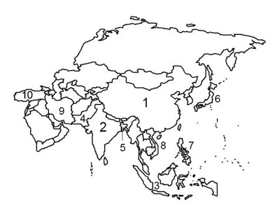
Asia Top Ten Most Populous Nations Outline Map
Description: This is an Asia outline map that requires students to identify and write the top ten most populous nations as numbered on the map.
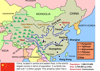
China Interactive Map
Description: This interactive map allows students to learn all about New China's cities, landforms, landmarks, and places of interest by simply clicking on the points of the map.
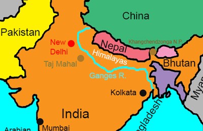
India Interactive Map
Description: This interactive map allows students to learn all about India's cities, landforms, landmarks, and places of interest by simply clicking on the points of the map.

Indonesia Interactive Map and Profile
Description: This is a beautiful interactive map of Indonesia. Students simply click on the points of the map to learn more.

Japan Interactive Map
Description: This is an interactive map of Japan. Students simply click on the points of the map to learn all about Japan.

Thailand Interactive Map
Description: This is an interactive map of the Thailand. Students simply click on the points of the map to learn all about them.
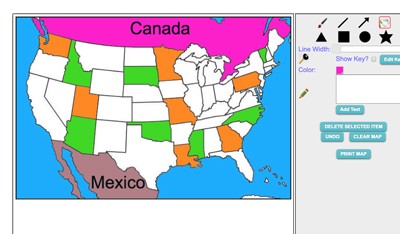
Maptivation - Online Map Making
Description: This is an awesome resource that allows kids to label and color maps online. States, regions, nations, and more are available. It can be a bit "glitchy" at time as the kids say, but by and large it is perfect for online coloring, printing, and labeling maps. Fill tool problem is now FIXED.
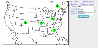
Make your own Map Assessment Exercise
Description: This activity allows teachers to make, save, and deploy interactive map quizzes to students. Choose and design any of 200 maps, then add interactive questions to the map. Save and name the map, copy the code, and distribute the code to students. Students click on the numbered circles on the map to access the questions. The system gives immediate feedback.
Advertisement
