Explore Africa — Click the Map
Select a country on the original interactive map to learn about its flag, location, and current facts.
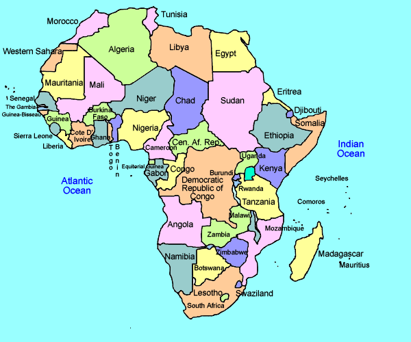
The original Africa map could not load. An internet connection is required for the map image; use the searchable list below.
Your original image map with 65 hotspots • Maximum natural size 600 × 500 • Select a region to update the panel at right
Explore Africa
Click the map or choose a country from the list to discover its flag, capital, currency, languages and updated facts.
Countries and Territories
Classroom Challenges
The first three challenges can be solved entirely using the map’s country fact panels and the Continent Overview. Each question tells students exactly where to look. Choose one of the four interactive assessments in the toolbar. Each can be automatically graded, printed as a student worksheet, and printed separately as an answer key. Quiz panels can be moved by dragging their title bars.
Updated edition: Population figures are World Bank 2025 estimates where available. Area, capitals, currencies and languages have been reviewed and corrected; figures and government policies can change. The source map contains 52 profiles rather than all 54 African sovereign countries.